Written by: Irshad Ahmad Bhat ( Research Scholar )
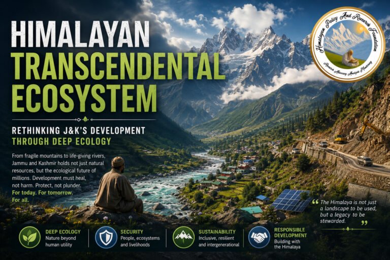
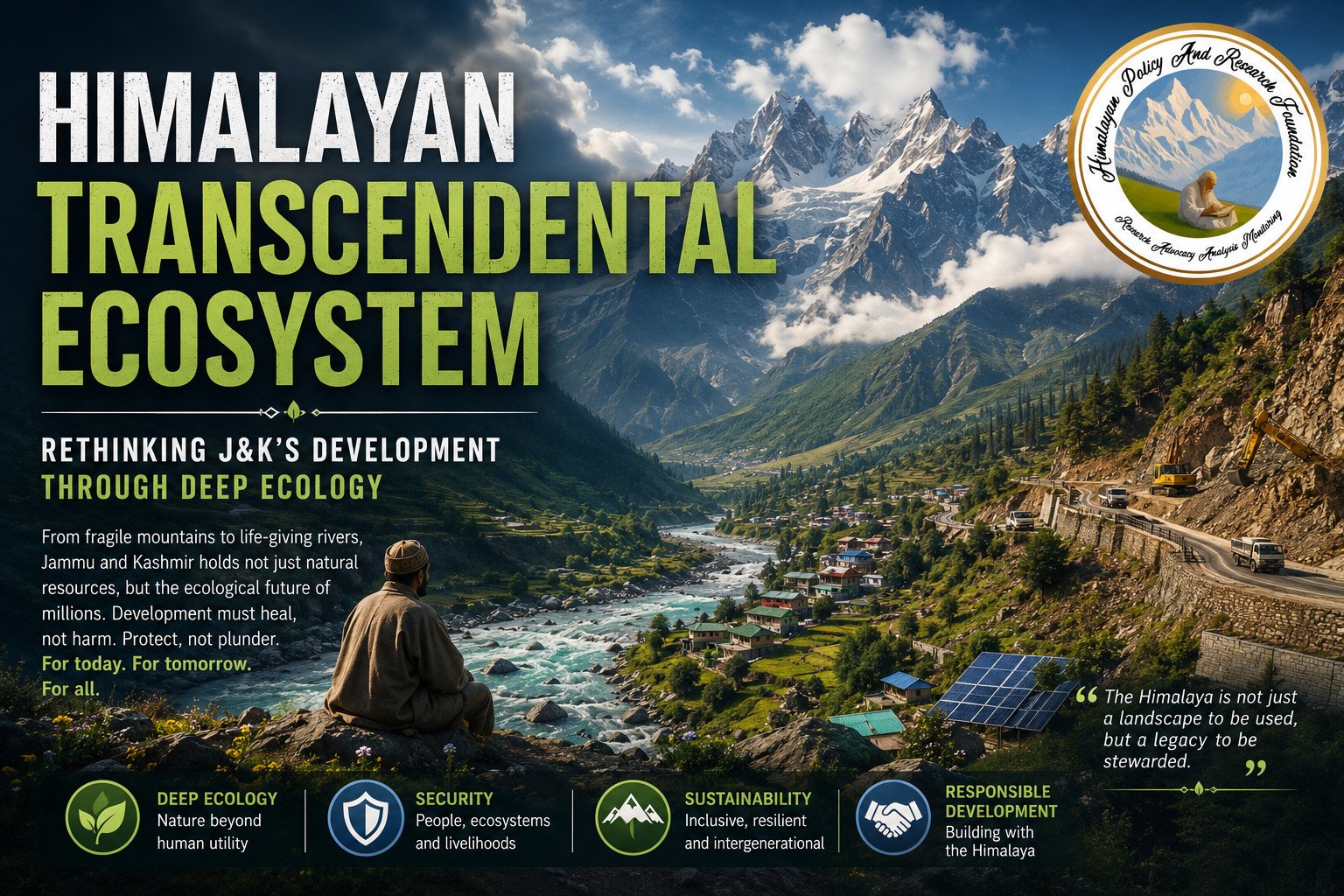
From Kishtwar to Doda, Jammu and Kashmir’s monsoons are turning deadlier by the year. This is not only a Himalayan story — it is a story about who pays, downstream and across generations, when a fragile mountain range is developed faster than it can bear, and about a security conversation that still has almost nothing to say about ecology. The region’s own traditions once knew how to build with the mountain rather than against it. It’s time development policy relearned that lesson — and looked at what Bhutan, Nepal and Switzerland have already done.
Introduction: why a transcendental ecosystem is everyone’s business
Whoever you are, and wherever you live, the Himalayas already touch your life more than you probably realise. If you have ever eaten rice grown on the Gangetic plain, drawn water from a tap in Lahore or Dhaka, or relied on a monsoon arriving roughly when it should, you have depended, without knowing it, on a mountain range now visibly coming apart at its edges. Ten of Asia’s great rivers rise in the Himalayas; close to a fifth of humanity depends on what happens to their glaciers, slopes and forests. For India specifically, the range is not one region among several but the hydrological and climatic keystone of the country: it feeds the Indus, Ganga and Brahmaputra systems that sustain the bulk of India’s agriculture, regulates the monsoon on which that agriculture depends, and holds a freshwater reserve — the so-called Third Pole — whose depletion would be felt from Punjab’s wheat belt to Bangladesh’s delta. Beyond India’s own borders, the same glaciers and river systems sustain agriculture, hydropower and drinking-water supply across Pakistan, Nepal, Bhutan, Bangladesh and China’s western provinces, which is precisely why the range’s stability is not a matter any single national government can secure alone, however it may be governed on a map.
The Norwegian philosopher Arne Naess offered a useful vocabulary for what is at stake here. Writing in the 1970s, Naess distinguished a “shallow” ecology, concerned with pollution and resource depletion only insofar as they affect human welfare, from a “deep” or transcendental ecology, which recognises ecosystems as possessing worth beyond their utility to any single generation or economy (Naess, 1973). That distinction is not academic hair-splitting when applied to the Himalayas. A hydropower project justified purely by its electricity output, or a highway justified purely by its travel-time savings, is shallow-ecology accounting: it prices the mountain only for what it yields this decade. A transcendental framing, by contrast, treats the range’s water security, biodiversity and climatic regulation as a standing inheritance that no single infrastructure ledger can fully price — which is precisely why India’s mountain states, and Jammu and Kashmir most acutely, keep discovering the cost of having priced it too cheaply.
The empirical pattern
On 14 August 2025, a cloudburst triggered a flash flood in Chositi village, Kishtwar district, the last motorable point on the route to the Machail Mata shrine, where more than 1,200 pilgrims had gathered for the annual Machail Mata Yatra. According to sustained rescue-operation bulletins issued by the Jammu and Kashmir administration over the following week, the confirmed death toll climbed to at least 65, with over 100 injured and dozens more missing, presumed swept into the Chenab (All India Radio News on Air, 2025). Less than a year later, on 6 July 2026, fresh flash floods struck the same valley — Doda, Kishtwar and Ramban districts — sending torrents of mud, boulders and debris into the Kwar hydroelectric project’s tail-race tunnel and burying parked vehicles, while the Doda–Kishtwar stretch of NH-244 was blocked near Prem Nagar (Down To Earth, 2026). Days earlier, a cloudburst over Thathri town in Doda had damaged thirteen houses, fifteen shops, a school and roughly twenty vehicles; a landslide had already closed the same highway corridor in May.
Read as a series, clustered within a single highway corridor and a single hydropower-development valley across two consecutive monsoon seasons, these events describe a structural pattern rather than a sequence of misfortunes. That distinction matters for policy: a structural pattern calls for a structural response, while a series of unlucky incidents calls only for better emergency logistics.
Causal mechanisms
National disaster-risk assessments converge on rainfall intensity and duration as the critical proximate triggers of landslide initiation across Himalayan terrain (National Disaster Management Authority, 2019). Warmer, moisture-laden air increasingly discharges its rainfall in short, violent bursts rather than the steadier seasonal distribution the terrain evolved to absorb, raising pore-water pressure on slopes faster than natural drainage can dissipate it — compounded by a shifting cryospheric regime of less reliable winter snow accumulation and faster, more erratic spring melt.
A second mechanism is geological. National-scale landslide susceptibility mapping places the north-western Himalaya — the belt running through Ramban, Doda and Kishtwar — among India’s most hazard-prone terrain, a function of steep gradients, weak and fractured rock formations, and active tectonic uplift as the Indian plate continues its collision with Eurasia (National-Scale Landslide Susceptibility and Risk Mapping of India, 2025). The third mechanism sits within policy’s reach: the same disaster-risk assessments identify unplanned road development, hill-cutting without engineered slope reinforcement, and construction density exceeding local drainage capacity as direct, compounding contributors to slope instability (National Disaster Management Authority, 2019). None of these three mechanisms alone explains the Chenab Valley’s disaster frequency across 2025 and 2026; their interaction does.
Why Jammu and Kashmir is the pivot, not a periphery
Within the wider Himalayan Region, Jammu and Kashmir occupies a structurally pivotal position that the national conversation has been slow to register. It is the point of origin, or near-origin, for the Chenab and Jhelum, tributaries feeding the Indus system on which Pakistan’s agriculture heavily depends, which means slope failures and glacial disruption here carry consequences that cross an international border regardless of political will. It sits at some of the steepest, most seismically active gradients in the entire Himalayan arc, with Ramban, Doda and Kishtwar specifically flagged by national susceptibility mapping as high-hazard terrain. And it is simultaneously the site of the country’s most ambitious current Himalayan hydropower build-out — Kwar, Ratle, Baglihar and Salal among the projects sited directly on this fragile geology — alongside pilgrimage corridors that concentrate large, time-bound crowds in single-approach valleys.
That combination of hydrological centrality, geological fragility and infrastructural intensity is precisely what makes Jammu and Kashmir the pivotal test case for the transcendental-ecosystem argument, rather than a marginal instance of it. Ensuring its sustainability requires, at minimum, four concrete shifts: binding rather than advisory hazard mapping that determines where construction is permitted, not merely where it is discouraged; environmental impact assessment that precedes ground-breaking rather than trailing it as post-hoc documentation; carrying-capacity limits for pilgrimage and tourism corridors calibrated to slope and drainage capacity rather than to demand alone; and a standing, resourced institutional link between the Geological Survey of India’s hazard data and the district-level administrations — in Kishtwar, Doda, Ramban and beyond — that actually authorise construction on the ground.
The missing security dimension
There is a further gap in how this problem is framed nationally, and it is a security gap. India’s security discourse on Jammu and Kashmir remains overwhelmingly organised around border management, counter-infiltration and internal law and order — a framing with obvious and legitimate justification, but one that has left ecological stability almost entirely outside the security conversation, even though a destabilised slope can sever a highway, isolate a border garrison, or displace a border population as effectively as a hostile action can. When the Chositi flood cut off villages around Kishtwar for weeks, reachable only through sustained army and police effort (Tribune India, 2025), the incident was reported as a disaster-relief story, not a security story — despite occurring in a border district where connectivity failure has direct strategic consequence. A hydropower tunnel repeatedly flooded with debris, a highway that closes each monsoon, a pilgrimage route that cannot guarantee evacuation capacity: each of these is, functionally, an infrastructure vulnerability of the kind security planning ordinarily treats with urgency when the threat is human rather than geological.
Correcting that gap does not require a new bureaucracy so much as a reframing of an existing one. Ecological risk assessment — hazard mapping, slope monitoring, cryospheric tracking — should sit inside the same planning process that already assesses infrastructure vulnerability for security purposes in border districts, rather than in a parallel environmental track that rarely speaks to it. Disaster-response capacity in border and high-hazard districts should be resourced and exercised with the same seriousness as conventional contingency planning, given that recovery time in these valleys is currently measured in weeks rather than days. Ecological monitoring data — glacial lake formation, slope destabilisation, river-course change — should be treated as strategically relevant information requiring the same continuity of collection as any other border-district intelligence, given its direct bearing on both civilian safety and military logistics in the same terrain. And civil-military coordination protocols already used for conventional contingencies in Jammu and Kashmir’s border districts could be extended, with comparatively modest adaptation, to cover ecological contingencies — glacial lake outburst floods, sudden slope failure along strategic supply routes — rather than treating each such event as an improvised, one-off relief operation.
Ethos as an underused policy resource
There is a resource in this specific region’s own intellectual history that current planning has largely stopped drawing on. The Valley’s Rishi order, founded by Sheikh Noor-ud-Din Wali, and the Sufi silsilahs that took root alongside it, never treated forest, spring and settlement as separable domains to be governed independently; Rishi shrines were historically also sites of tree planting and spring protection, embedding a form of ecological stewardship directly into devotional practice. Traditional water-management systems maintained across the Valley — networks of nallahs, springs and karewa-edge drainage — constituted, functionally, an indigenous form of engineered sustainability, built from generations of accumulated local knowledge of the same slope and water behaviour that geotechnical modelling now attempts to reconstruct from first principles. What separates that older practice from current infrastructure planning is not the underlying ethic but the scale and speed at which contemporary decisions are made, typically far from the terrain they govern.
Comparative practice
Several other mountain jurisdictions have already formalised, institutionally, the reconciliation this argument proposes. Bhutan’s constitution mandates a minimum of 60% national forest cover in perpetuity under Article 5, treating forest cover as standing infrastructure that regulates water flow and stabilises slopes, rather than land available for clearance once a project clears approval (Royal Government of Bhutan, 2008); more transferable than the specific figure is the procedural principle of screening major projects for ecological cost before, not after, construction begins. A joint Nepal–Bhutan programme has piloted a landslide risk-assessment methodology for rural access roads pairing geospatial hazard mapping with bio-engineering — locally sourced vegetation and root systems, rather than concrete alone, to stabilise cut slopes — training district engineers and local farmers directly (SW Nepal, 2026). Switzerland’s legally protected Bannwald, or protective forest, restricts logging because root structure is recognised in law as slope-stabilising infrastructure, backed by cantonal building codes for steep terrain; its Alpine Convention requires cross-border land-use coordination across eight countries because a destabilised slope in one jurisdiction alters hazard behaviour in the next. Nepal’s Annapurna Conservation Area offers a directly relevant pilgrimage-management model: community-governed tourism carrying-capacity limits that have simultaneously reduced ecological strain and sustained local income across four decades (Mountain Ecotourism and Sustainable Development, 2025). And a Himalayan-origin precedent sits closer to home still: Ladakh’s Ice Stupa project, engineered by Sonam Wangchuk, demonstrates a locally developed response to erratic snowmelt — artificial glaciers formed by freezing diverted stream water through winter and releasing it gradually through the early growing season (National Geographic, 2019).
What the Himalayan Policy and Research Foundation proposes
Drawing these threads together, the Himalayan Poicy and l Research Foundation’s position is that Jammu and Kashmir’s ecological continuum can be secured through a specific, sequenced set of measures rather than a choice between development and restraint. First, a Chenab Valley Hazard Atlas, combining the Geological Survey of India’s existing susceptibility data with rainfall and slope monitoring, made binding on where new construction is permitted rather than advisory. Second, a carrying-capacity protocol for the Machail Mata and Amarnath Yatras, developed jointly with shrine boards and local communities on the Annapurna model, staggering access through single-approach valleys. Third, legal recognition of Chenab-corridor forest cover as slope-stabilising infrastructure, on the Bannwald precedent, giving the region standing grounds to resist clearance requests case by case. Fourth, expansion of the ice-stupa approach into the Kashmir Valley and upper Chenab watersheds to address erratic snowmelt destabilising spring water security across Gurez, Kishtwar and the Valley’s karewa belt. Fifth, a bio-engineering training component, on the Nepal–Bhutan model, embedded within J&K’s Climate Change Cell and disaster-management apparatus, placing slope-stabilisation knowledge directly with the engineers and panchayats who decide how a cut slope is finished. And sixth, formal integration of ecological hazard monitoring into border-district security planning, so that a destabilising slope is treated with the institutional urgency currently reserved for threats of a different kind.
Conclusion
None of this requires choosing between the highway and the hillside, or the hydropower project and the river it sits on. It requires what the evidence already indicates, what Naess’s distinction helps make precise, and what Bhutan, Switzerland and Nepal have separately formalised into policy: that growth and the ground it stands on are not competing priorities but a single condition, and that ecological stability is inseparable from the wider security of a border region, not a soft addendum to it. Chositi and Thathri are not misfortunes that arrived from outside, nor are they Jammu and Kashmir’s problem alone — every mountain society downstream of a melting glacier or an unstable slope is, in effect, watching the same clock. They are the empirical cost of forgetting a sequence the region’s own inherited ethos, a widening body of comparative policy evidence, and a more honest security accounting all point toward: in terrain this fragile, the question of what a slope can bear has to be answered before construction begins, not after — and the Himalayas, once that sequence is restored, remain what they have always been: not a regional resource, but a shared inheritance for India and for everyone downstream of it.
References
All India Radio News on Air. (2025, August 16–21). J&K cloudburst: Rescue and relief operations updates, Chisoti village, Kishtwar. Government of India. https://www.newsonair.gov.in
Down To Earth. (2026, July). Flash floods in Jammu and Kashmir’s Chenab Valley stall Kwar hydroelectric project, close Doda-Kishtwar highway. Centre for Science and Environment. https://www.downtoearth.org.in/climate-change/flash-floods-in-jammu-and-kashmirs-chenab-valley-stall-kwar-hydroelectric-project-close-doda-kishtwar-highway
Geological Survey of India. (2014). National Landslide Susceptibility Mapping (NLSM) Programme. Ministry of Mines, Government of India.
Government of India, Department of Science and Technology. (n.d.). National Mission for Sustaining the Himalayan Ecosystem. Ministry of Environment, Forest and Climate Change.
Mountain ecotourism and sustainable development: Ecology, economics, and ethics. (2025). ResearchGate.
Naess, A. (1973). The shallow and the deep, long-range ecology movement: A summary. Inquiry, 16(1), 95–100.
National Disaster Management Authority. (2019). National Landslide Risk Management Strategy. Government of India, Ministry of Home Affairs.
National Geographic. (2019). How artificial glaciers are helping Himalayan farmers. National Geographic Society. https://www.nationalgeographic.com/environment/article/ladakh-ice-stupas
National-scale landslide susceptibility and risk mapping of India using a hybrid data-driven approach. (2025). Scientific Reports. https://www.nature.com/articles/s41598-025-33446-0
Royal Government of Bhutan. (2008). Constitution of the Kingdom of Bhutan, Article 5.
SW Nepal. (2026, May 4). Landslide risk assessment and mitigation in Nepal and Bhutan (DFID Knowledge and Research Programme report). https://swnepal.com.np/project/landslide-risk-assessment-nepal-bhutan/
Tribune India. (2025, December 30). Looking back 2025: Flashfloods, landslides ravaged Jammu. https://www.tribuneindia.com/news/j-k/flashfloods-landslides-ravaged-jammu/
About the Author