Written by: Irshad Ahmad Bhat ( Research Scholar )
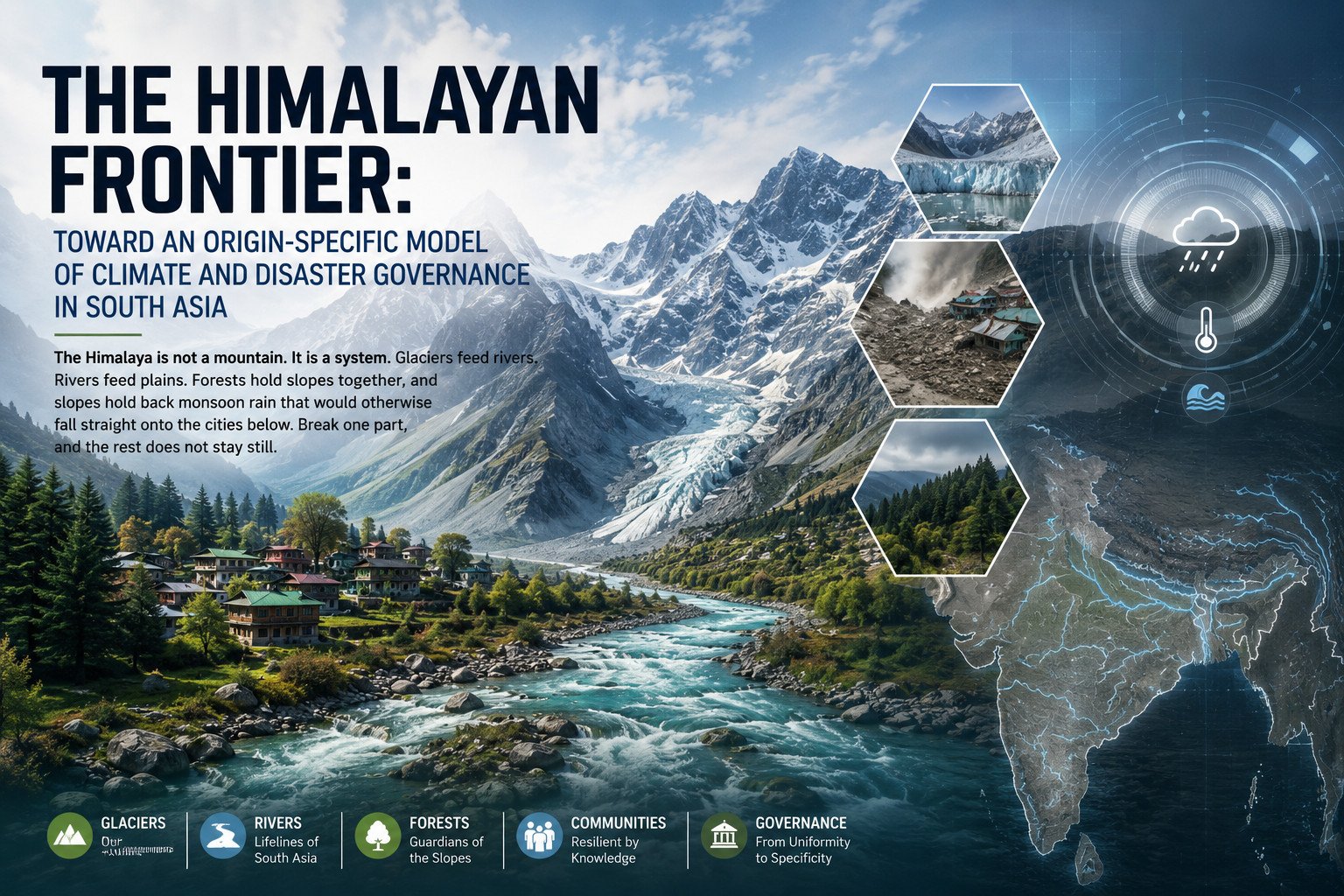
The Himalaya is not a mountain. It is a system. Glaciers feed rivers. Rivers feed plains. Forests hold slopes together, and slopes hold back monsoon rain that would otherwise fall straight onto the cities below. Break one part, and the rest does not stay still. Few people who have never stood inside this system understand how tightly it is wired together. Fewer still understand how fast the wiring is failing. Long before satellites began tracking its glaciers, the region’s rishi-munis lived beside the Himalaya without disturbing it — drawing water, gathering herbs, building nothing that the mountain could not absorb, and treating its silence as sacred rather than empty. That was coexistence, not conquest. It is the opposite of how the range is governed today. A lake that has existed since before the republic can vanish inside a generation. A village can be erased in the time it takes to read this sentence. This is not an argument about beauty or heritage. It is an argument about the machinery that keeps South Asia habitable, and about what happens when that machinery runs on inherited assumptions rather than current evidence.
The Himalaya as Subcontinental Frontier
Climate governance scholarship has long distinguished between mitigation regimes designed around aggregate national emissions targets and adaptation regimes that must, by definition, be calibrated to place. The Himalayan arc sits awkwardly across this distinction. It is simultaneously implicated in India’s mitigation accounting, through its forests and hydropower, and it is the paradigmatic case for place-based adaptation, because its risks — glacial retreat, slope failure, extreme orographic rainfall — cannot be meaningfully aggregated to the national scale without losing the very information that would make a policy response effective. This essay argues that the prevailing model of Himalayan climate governance in India, built on a national mission architecture superimposed uniformly across thirteen ecologically distinct states and Union Territories, has become empirically indefensible. Two recent bodies of evidence make the case: the Comptroller and Auditor General’s 2025 performance audit of lake conservation in Jammu and Kashmir, and a growing peer-reviewed literature documenting heavy-metal contamination in Dal Lake. Read together with the region’s escalating disaster record, they demonstrate that generalised national policy, however well-funded, is no longer commensurate with the specificity of the harm it is meant to address.
The premise requires some defence, because in public discourse the Himalaya is still routinely treated as scenery rather than as governing infrastructure. This is an analytical error with material consequences. The range performs at least three interlocking functions on which subcontinental habitability depends. It is the primary orographic control on monsoon rainfall across the Indo-Gangetic plain; it hosts the glaciers and snowfields of the wider Hindu Kush Himalaya (HKH) system that feed the Indus, Ganga and Brahmaputra, the perennial rivers on which several hundred million people across India, Pakistan, Nepal, Bhutan and Bangladesh depend for drinking water, irrigation and hydropower; and its forests and wetlands perform regulating ecosystem functions — carbon sequestration, soil retention, hydrological buffering — across one of the world’s most seismically active and geologically youngest mountain systems. On each count, the Himalaya is properly understood not as India’s asset but as the subcontinent’s shared natural frontier, a boundary zone whose internal condition determines the security of the territory beyond it.
Glacial Retreat and the Rising Disaster Record
That frontier is under measurable strain, and the mechanism is now reasonably well characterised. Assessments of the wider HKH region document glacier retreat proceeding roughly 65% faster in 2011–2020 than in the preceding decade, alongside warming of approximately 0.28°C per decade and an expansion of glacial lake area of nearly 11% since 2011 — the physical precondition for the glacial lake outburst floods (GLOFs) now a recurring feature of the region’s hazard profile. The October 2023 breach of South Lhonak Lake in Sikkim, which sent a debris-laden flood through the Teesta valley’s hydropower infrastructure and settlements, is the starkest recent illustration, but it is not an outlier: subsequent glaciological surveys have identified several high-altitude lakes in the Kashmir Himalaya as carrying comparably high GLOF susceptibility. Warming has, in effect, re-engineered the mountains’ hydrological plumbing, so that each subsequent extreme rainfall event detonates on ground that is already destabilised.
That destabilisation compounds with locally generated anthropogenic stress in ways the disaster record now demonstrates with some statistical clarity. Unplanned urbanisation on unstable terrain, hydropower and road construction that undercuts slope stability, and a tourism economy expanding without a serious carrying-capacity assessment have combined with an atmospheric shift in which warming over the Middle East and the Mediterranean is pulling greater volumes of moisture-laden air into the Himalayan foothills, intensifying precisely the short-duration rainfall bursts the terrain is least able to absorb. Analysis of the August 2025 Dharali disaster in Uttarakhand’s Uttarkashi district — where a sudden torrent of water, mud and debris destroyed a village within minutes — situates the event within this broader mechanism rather than treating it as an isolated meteorological accident. The aggregate figures corroborate the pattern: one assessment found that India’s thirteen Himalayan states and Union Territories recorded extreme weather events on 822 of 1,186 days between January 2022 and March 2025, a period in which 2,863 people died. Himachal Pradesh’s State Disaster Management Authority logged 46 distinct cloudburst events during the 2025 monsoon alone, concentrated disproportionately in Mandi, Kullu and Chamba districts, with state losses assessed at ₹4,000–4,800 crore and 448 lives lost that season. A year earlier, floods and landslides across the Indian Himalayan Region on a single day in August 2023 killed at least 72 people and caused an estimated $1.2 billion in damage. The India Meteorological Department’s own operational threshold for a cloudburst — 100mm of rain within an hour over roughly 20–30 square kilometres — is being met with a frequency that indicates a structural shift in the region’s rainfall regime rather than a run of unremarkable extremes.
Institutional Failure: Lakes, Contamination and the Policy Gap
If the disaster record is the acute expression of this stress, the condition of the region’s lakes and wetlands is its chronic one, and it is here that the evidentiary case for governance reform is most rigorously documented. The Comptroller and Auditor General of India’s Report No. 4 of 2025, a performance audit of the conservation and management of lakes in Jammu and Kashmir covering the period to March 2022, found that of 697 natural lakes recorded in 1967, 315 have disappeared entirely and a further 203 have significantly shrunk — a combined 518 lakes, or roughly 74% of the total, either vanished or degraded. The audit attributes this largely to land-use conversion, unchecked encroachment, and the absence of a dedicated legal statute or centralised regulatory authority for lake conservation. It is a striking institutional finding that the responsible coordinating committee, when it convened in 2019, discussed conservation measures for only one of the 697 lakes under its statutory remit, and that departments including the Forest Department were themselves found to have constructed roads through wetland areas such as Hokersar and Rakh-i-Arth in apparent contravention of India’s own Wetland Rules. Conservation spending, the audit found, was concentrated on just six water bodies — Dal, Wular, Hokersar, Manasbal, Surinsar and Mansar — representing only about one per cent of the Union Territory’s capital expenditure budget between 2017 and 2022, while the remaining 691 lakes received no structured intervention whatsoever. For Dal Lake specifically, the audit documented incomplete catchment management, with only four of fifteen identified micro-watersheds treated, alongside continued deficiencies in sewage treatment plant performance.
That institutional failure has a measurable biochemical signature. A 2026 peer-reviewed study analysing water, sediment and aquatic vegetation across Dal Lake, the Hokersar wetland, Manasbal Lake and Wular Lake documented the accumulation of eight heavy metals — including cadmium, chromium, nickel and lead — with Dal Lake registering the highest contamination of the four water bodies sampled. Sediments were found to function as long-term reservoirs for these contaminants, which are entering the human food chain through Trapa natans, the water chestnut widely harvested from Kashmir’s lakes. The researchers linked this directly to wastewater failure: compliance data from the Jammu & Kashmir Pollution Control Committee indicates that of roughly 193 million litres of domestic sewage generated daily in Srinagar, some 140 million litres continues to reach Dal Lake untreated, despite decades of dedicated conservation spending. Separate assessments of groundwater near industrial sites in Jammu district found contamination within permissible limits — a divergence that is itself significant: it demonstrates that ecological risk across the Himalayan region is not uniform even within a single Union Territory, and that a governance model calibrated to the state or national level will systematically misread conditions at the level of the individual catchment.
This is the empirical core of the argument for reform. India’s existing policy architecture is not absent; it is misaligned in scale. The National Action Plan on Climate Change (NAPCC), adopted in 2008, organises mitigation and adaptation policy through eight national missions, including the National Mission for Sustaining the Himalayan Ecosystem (NMSHE), coordinated by the Department of Science and Technology to build scientific monitoring capacity for glacial and mountain-ecosystem change. India’s Nationally Determined Contribution, updated in 2022 and again ahead of 2035, now targets a 45–47% cut in emissions intensity against 2005 levels, 50–60% non-fossil electricity capacity, and a larger forest-based carbon sink, set against net-zero by 2070 — commitments intersecting several Sustainable Development Goals on clean water, sustainable cities, climate action and life on land. Independent assessment nonetheless rates India’s mitigation trajectory as insufficient against a 1.5°C-aligned pathway even as individual capacity targets are met ahead of schedule, and the CAG’s own findings on NMSHE’s flagship lake-conservation programme document precisely the gap between national ambition and district-level execution traced above. What is missing is not a policy vocabulary — NAPCC, the NDC and the SDGs supply that — but a mechanism translating it into decisions calibrated to a specific watershed, a specific treatment plant’s capacity, a specific slope’s structural history.
A sceptic might object that India already possesses considerable institutional capacity in this domain. The objection has some force: NMSHE, the National Water Mission and the Green India Mission collectively represent a substantial commitment of funding and scientific expertise, and India’s mitigation record on renewable capacity has, on some metrics, outperformed its own targets. But the CAG’s audit does not describe an underfunded programme; it describes a well-resourced one whose resources have been allocated without the legal authority, comprehensive baseline data or institutional coordination required to deploy them effectively. Conservation spending concentrated on six of 697 lakes is not a capacity problem so much as a governance-design problem — a failure to match the scale of intervention to the scale at which the underlying hazard actually operates. The same reasoning extends to the disaster record: a state authority that can count 46 cloudbursts in a single season evidently has the observational capacity; what it lacks is a statutory mechanism converting that observation into binding land-use decisions before, rather than after, the monsoon arrives.
Toward an Origin-Specific Governance Model
Four elements would give an origin-specific model of Himalayan governance operational substance, nested within rather than substituting for the existing national framework. First, hazard and water-quality monitoring needs to run at watershed resolution and in near-real time, feeding directly into land-use and construction permissions, rather than surfacing years later in an audit report. Second, construction and tourism carrying-capacity limits need statutory force rather than advisory status: the CAG’s finding that government departments themselves built roads through protected wetlands suggests that voluntary compliance has already failed as a governing logic. Third, the institutional geometry requires consolidation — the CAG’s central recommendation, a specialised authority with legal backing and coordinated budgetary control, addresses directly the fragmentation across pollution control committees, forest departments, disaster management authorities and the NMSHE that its own audit documents. Fourth, because the Himalayan watershed system crosses India’s borders with Nepal, Bhutan, Pakistan and China, transboundary data-sharing on glacial and hydrological risk is a structural requirement, since a GLOF or an upstream contamination event does not recognise a national boundary.
The stakes of failing to make this shift are not abstract. The Himalaya is simultaneously India’s principal natural heritage and its most exposed climate frontier: the source of its major rivers, home to some of the subcontinent’s oldest continuous cultures, and now the site where the compounding effects of global warming and local mismanagement are most visible in the historical record. Each lake the CAG’s auditors could not locate on a 2020 satellite image where a 1967 survey once recorded open water, each tonne of untreated sewage still reaching Dal Lake, each kilometre of road built through a protected wetland, is a withdrawal from a shared subcontinental account that no five-year policy cycle can readily replenish. The rishi-munis who once lived along these slopes understood, in their own idiom, what the audit trail now confirms in ours: the mountain sustains only what does not try to master it. The evidence assembled by India’s own constitutional audit institution and by the peer-reviewed scientific literature converges on one conclusion — national frameworks have supplied ambition without enforcement architecture at the scale the mountains actually operate at. Correcting that mismatch, not designing further national missions, is the governance task the Himalaya’s accumulating evidence base now demands.
References
Al Jazeera. (2025, August 5). At least four dead, dozens missing as flash floods hit north India village.
Assam Tribune. (2026, April 6). CAG report flags alarming shrinkage of 518 J&K lakes.
Carbon Brief. (2026, March 27). Q&A: What does India’s new Paris Agreement pledge mean for climate action?
CBC News. (2025, August 9). What caused the ‘shocking’ landslide that destroyed a Himalayan village?
Climate Action Tracker. (2026). India — Country Summary. climateactiontracker.org
Comptroller and Auditor General of India. (2025). Report of the Comptroller and Auditor General of India on Conservation and Management of Lakes in Jammu and Kashmir for the period ended March 2022 (Report No. 4 of 2025). saiindia.gov.in
Deccan Herald. (2025, December 15). Year-ender 2025: Climate disasters across the world.
Department of Science & Technology, Government of India. Climate Change Programme — NMSHE and NMSKCC. dst.gov.in
Down To Earth. (2026, April). CAG finds nearly half of Jammu and Kashmir’s lakes have vanished since 1967, warns of ecological crisis.
IEA. National Action Plan on Climate Change — Policies. iea.org
India Water Portal. (2025, August 19). Understanding Cloudbursts in the Himalayas — Safety Guide & FAQs.
Kashmir Life. (2026, April 7). Jammu Kashmir Lakes in Crisis; 315 Water Bodies Vanished Already, Says CAG.
Kashmir Times. (2026, April 9). CAG Flags Systemic Failure as 74% of J&K Lakes Shrink or Vanish.
Northlines. (2026, July 14). Heavy metals found in Kashmir water chestnuts, Dal Lake most contaminated: Study.
Scientific Reports / PMC. (2026). Accumulation of eight heavy metals in water chestnut (Trapa natans L.) of four major water bodies of Jammu and Kashmir, India.
The Federal. (2026, June 9). Why in Himachal, approaching monsoon has those living in the lap of the Himalayas worried.
About the Author